RESCUE / SEARCH
Bring search information from the field.
Share camera feeds, location and sensor data with response teams. Define information priorities and traffic needs to connect field activity with operational decisions.
RESCUE / SEARCH / PROTECT
Bring field video, location and equipment data to the people who respond. Combine 5G/LTE, resilient paths and edge processing around the task.

01 / FIELD APPLICATIONS
From rescue and disaster response to island and coastal operations. Work with public agencies, infrastructure operators and security and defense developers to define connectivity around each application.
RESCUE / SEARCH
Share camera feeds, location and sensor data with response teams. Define information priorities and traffic needs to connect field activity with operational decisions.
DISASTER / DEPLOYMENT
Connect vehicles and temporary bases for disaster response. Select available public 5G/LTE or a local private 5G deployment, and plan power, antennas and upstream connectivity together.
COAST / ISLANDS
Support island information sharing, harbor monitoring and rescue vessels. Evaluate shore coverage, distance, antenna height, line of sight and hull obstruction for a viable bidirectional link.
DRONES / UNCREWED SYSTEMS
Explore video, status monitoring and remote operation for civilian and defense uncrewed systems. Define video and command requirements separately, then evaluate latency, jitter, uplink capacity and loss-of-link behavior.
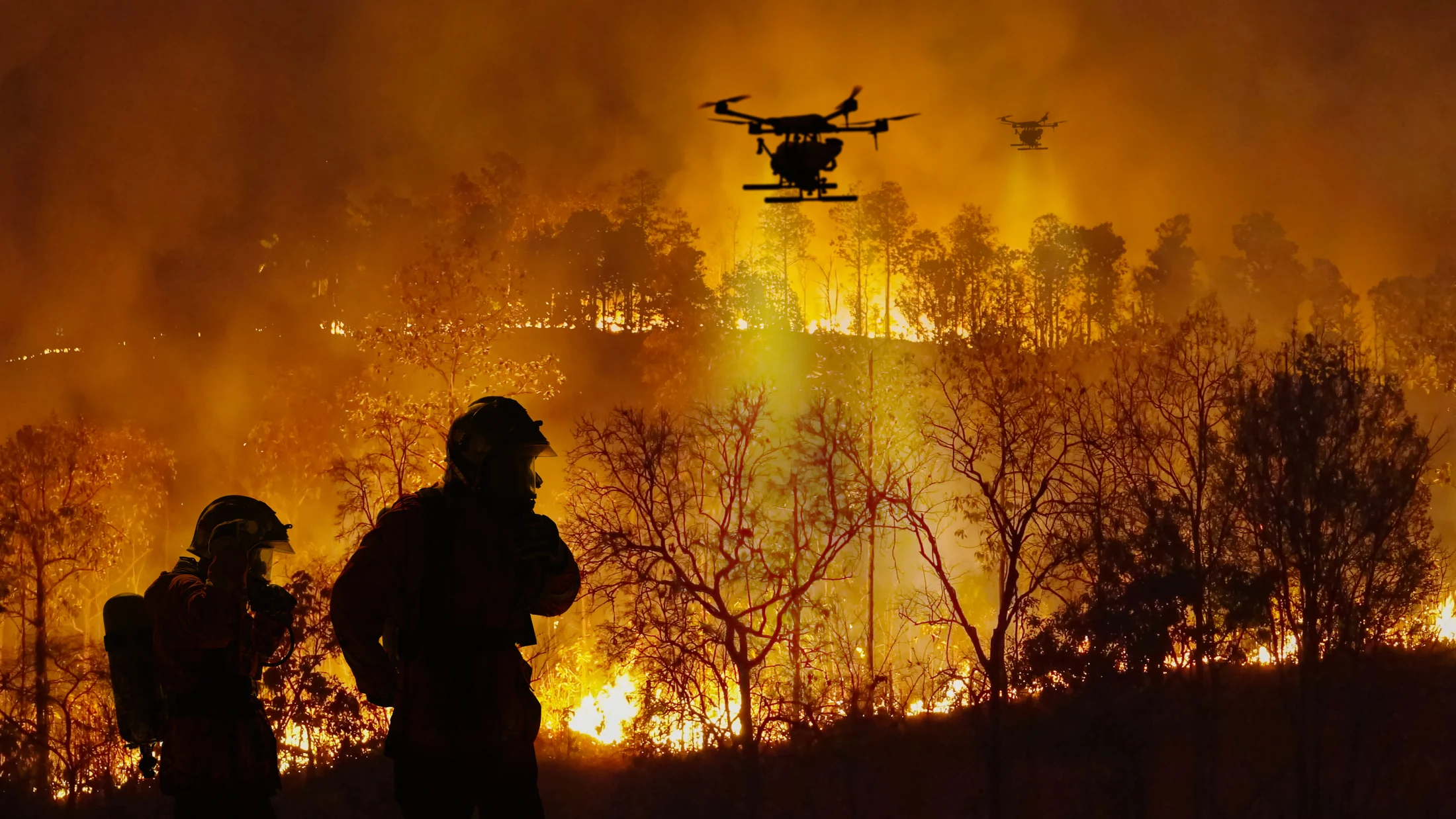
Design links that bring field video and status to response teams.
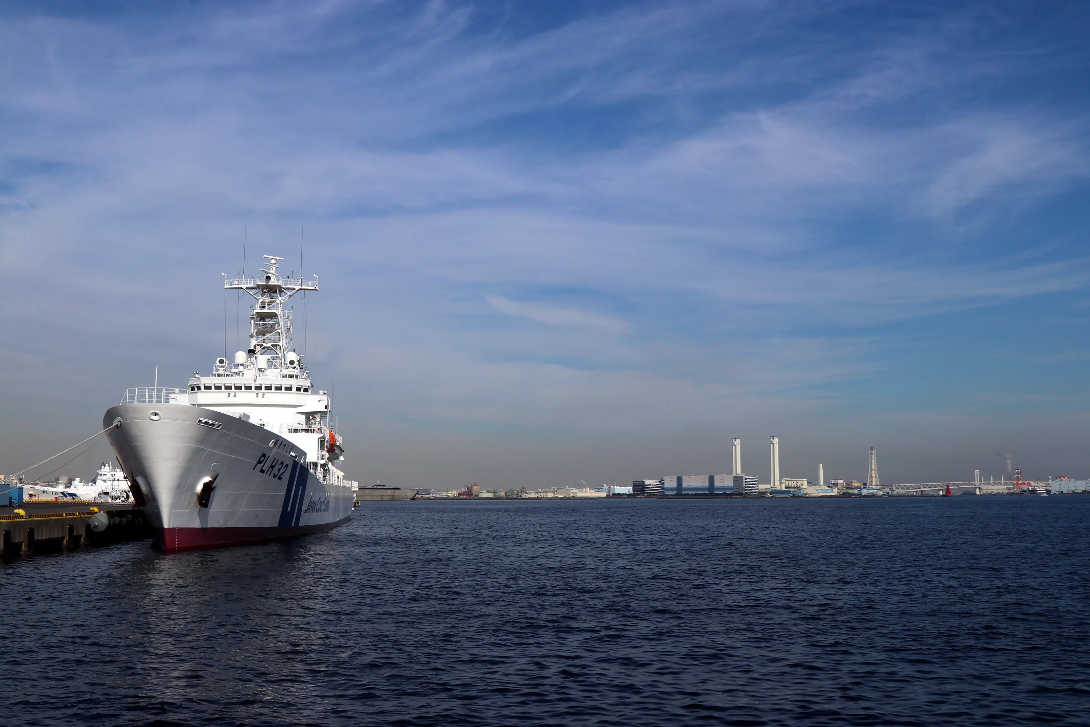
Evaluate coverage from radio sites, line of sight and antenna placement.
02 / FIELD TO RESPONSE TEAM
From cameras and sensors to local processing and upstream delivery, IDY designs communications, RF and edge processing as one architecture.
Collect video, location and status. Define interfaces and reporting rates.
Task-specific processing on iR800B, suitable 5G/LTE access and project-specific link redundancy.
Manage authentication and destinations. Prepare monitoring, records and updates for information sharing.
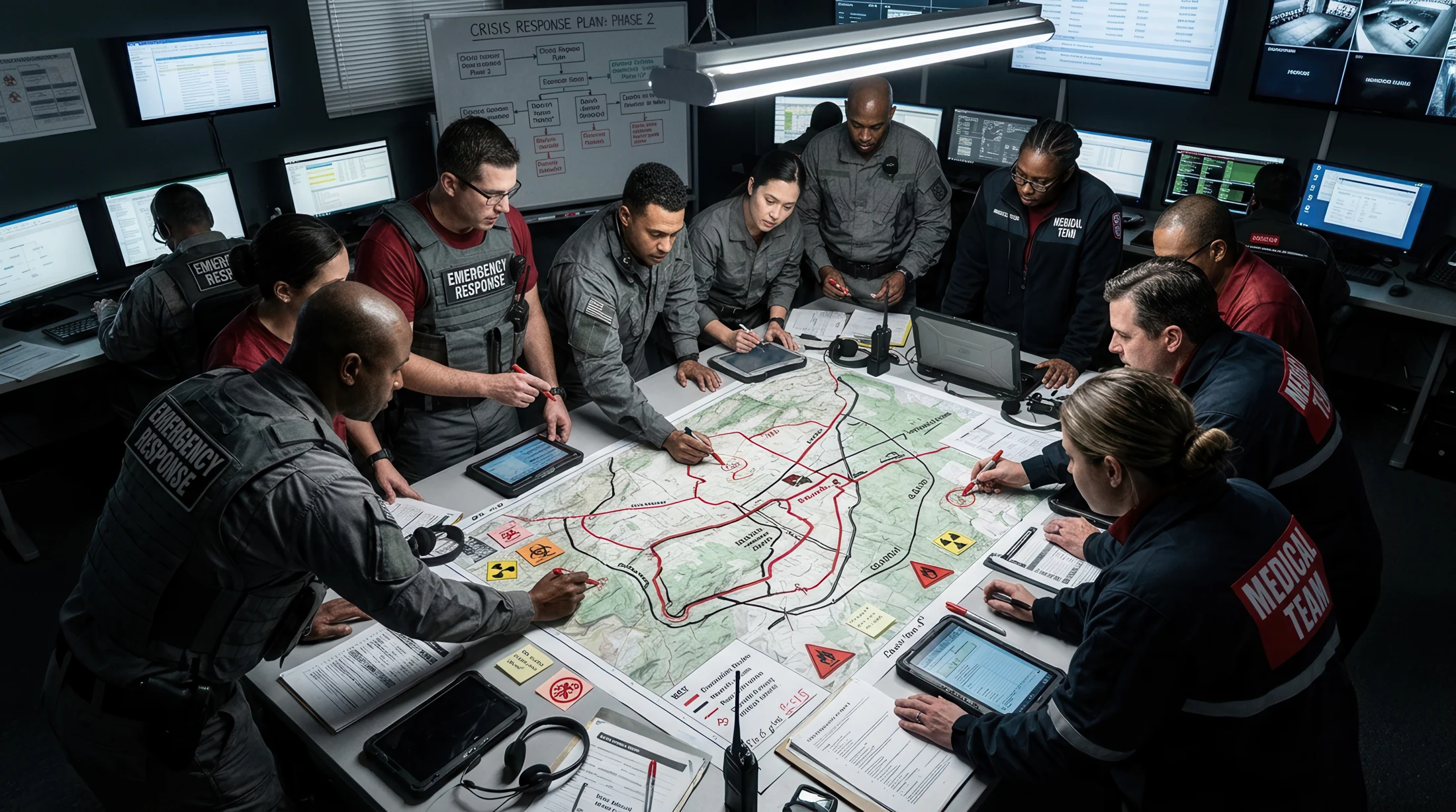
Define traffic, latency, priorities and disconnection handling between equipment and users. Work with application, vehicle and equipment teams to design a usable operational workflow.
03 / WHY 5G + EDGE
Connect capacity, deployment flexibility and local processing to practical value, then validate the required scope on real equipment.
ACCESS
For public 5G/LTE, verify coverage and subscription conditions. For private 5G, plan radio access, core, spectrum and operations. Confirm usable paths and deployment requirements per site.
RESILIENCE
Select the link architecture, including iR800B with iS201B where appropriate. Assess shared radio sites, upstream networks and power across subscriptions; test link switchover and application reconnection together.
EDGE
Design task-specific applications on iR800B for equipment data collection, formatting, notification and approved relays. Define buffering, retries, processing load and destinations across the edge and upstream systems.
04 / THE IDY APPROACH
IDY focuses on adding connectivity to existing equipment and combining processing with suitable paths. This approach has points of alignment with Japan’s Ministry of Defense direction on civilian technology and communications infrastructure.
| IDY | Operational | Related |
|---|---|---|
| Prototype and evaluate using existing 5G products | Define connectivity early and progress to system evaluation | Ministry of Defense: early adoption of advanced civilian technology |
| Design multiple paths and distribution around requirements | Assess shared failures and prepare operational alternatives | Next-generation information and communications strategy: multiple networks and redundancy |
| Integrate private 5G with field systems | Tailor information sharing to security, logistics and training | Ministry of Defense: digital transformation for base security, logistics and training |
IDY
05 / PRODUCTS & FIELD PRO
Define processing, access and installation requirements, then select an architecture based on iR800B, iR730B and iS201B. Explore FIELD PRO for project-specific temperature, security and evaluation requirements.
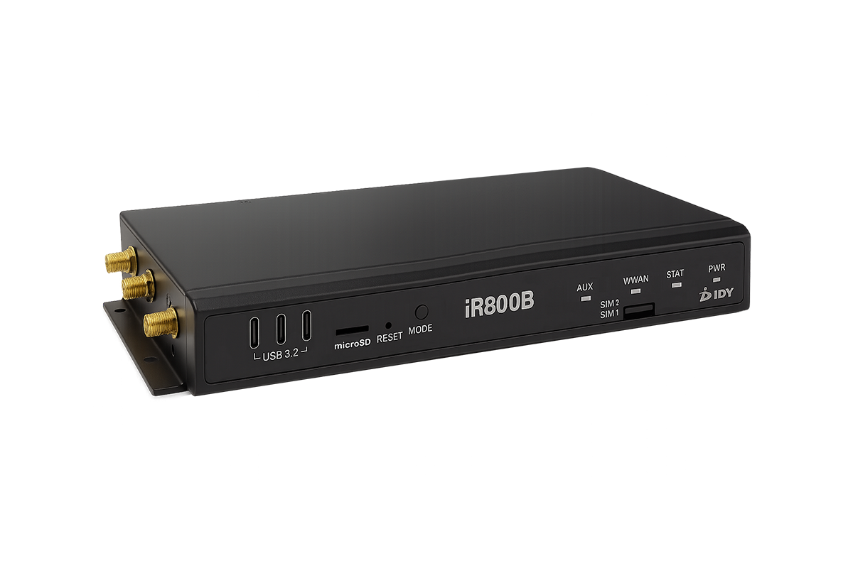 5G EDGE GATEWAY
10GbE, edge processing, multi-link resilience and WISE CONNECT® expansion in one platform.
View base product specifications →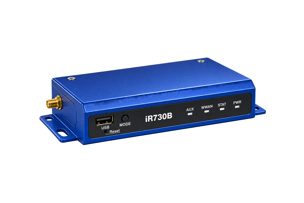 INDUSTRIAL 5G EDGE GATEWAY
Release 16, 5G/LTE, industrial I/O and WISE CONNECT® expansion in a compact platform.
View base product specifications →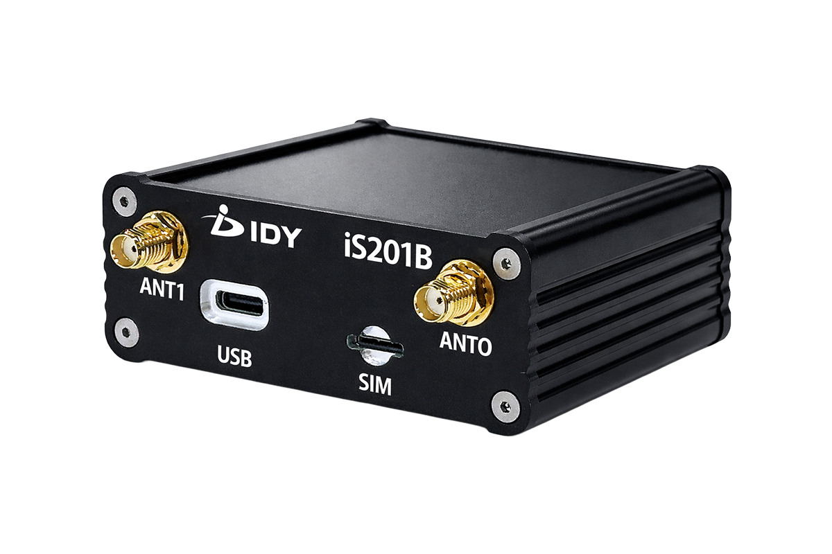 5G USB MODEM
Add an independent 5G path to existing systems for higher bandwidth and two-active-link resilience.
View base product specifications →Explore project-specific requirements based on iR800B, iR730B and iS201B: temperature, security and agreed shipment verification.
06 / DESIGN QUESTIONS
Where will you operate, what will you send and who needs it? Turn these questions into architecture and evaluation criteria.
Choose around mobility, deployment and traffic needs, such as vehicles, temporary bases and video. Compare dedicated private 5G coverage with public 5G/LTE access according to the location and operating model.
Check radio sites, spectrum, antenna heights, line of sight, hull or terrain obstruction and both link directions. Combine desktop planning with field measurements to define the operating area and alternate paths.
Specify video, telemetry and command requirements separately. With the aircraft and control-system teams, evaluate radio quality in motion, latency, jitter and safe loss-of-link behavior, plus installation and radio authorization conditions.
Discuss connectivity for facilities, vehicles and deployable equipment, or integration into existing systems. Define temperature, power, electromagnetic, security and maintenance requirements, then explore project-specific evaluation with IDY FIELD PRO.
NEXT / DESIGN YOUR FIELD CONNECTION
Tell us about the location, equipment and information to share. Explore access, devices, antennas and edge processing for evaluation and operation.